Aerial perspective
Drone Services
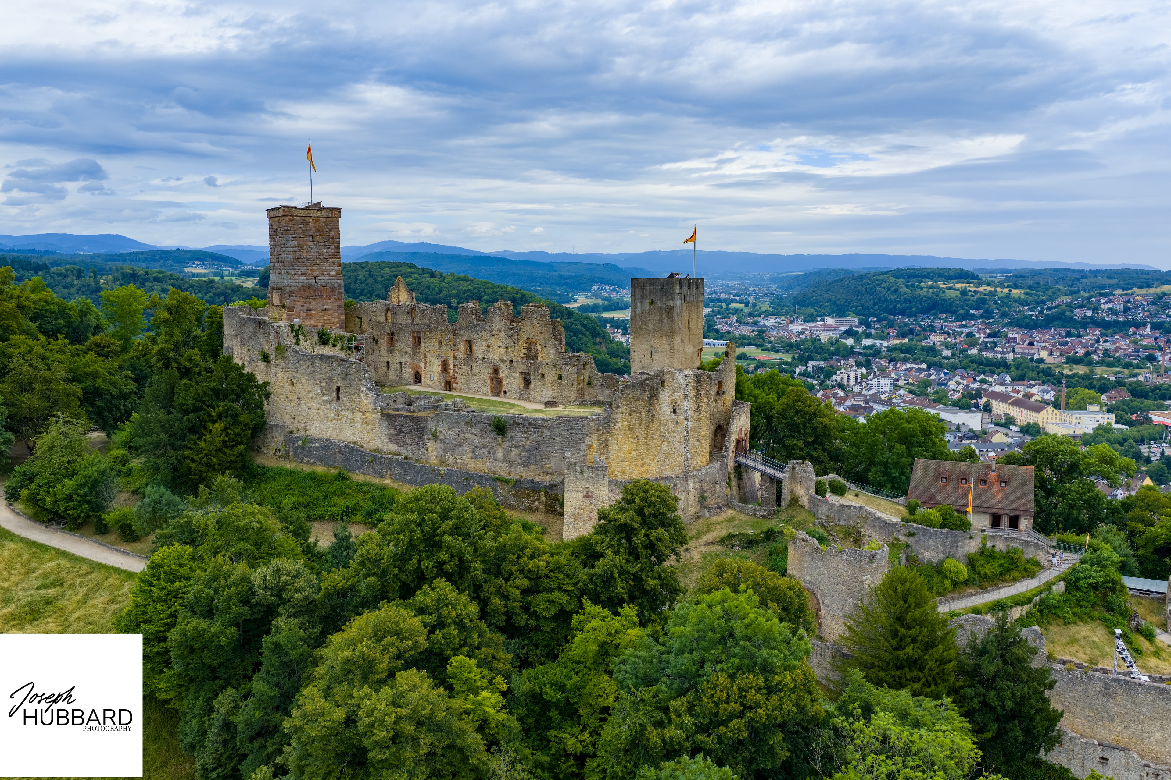
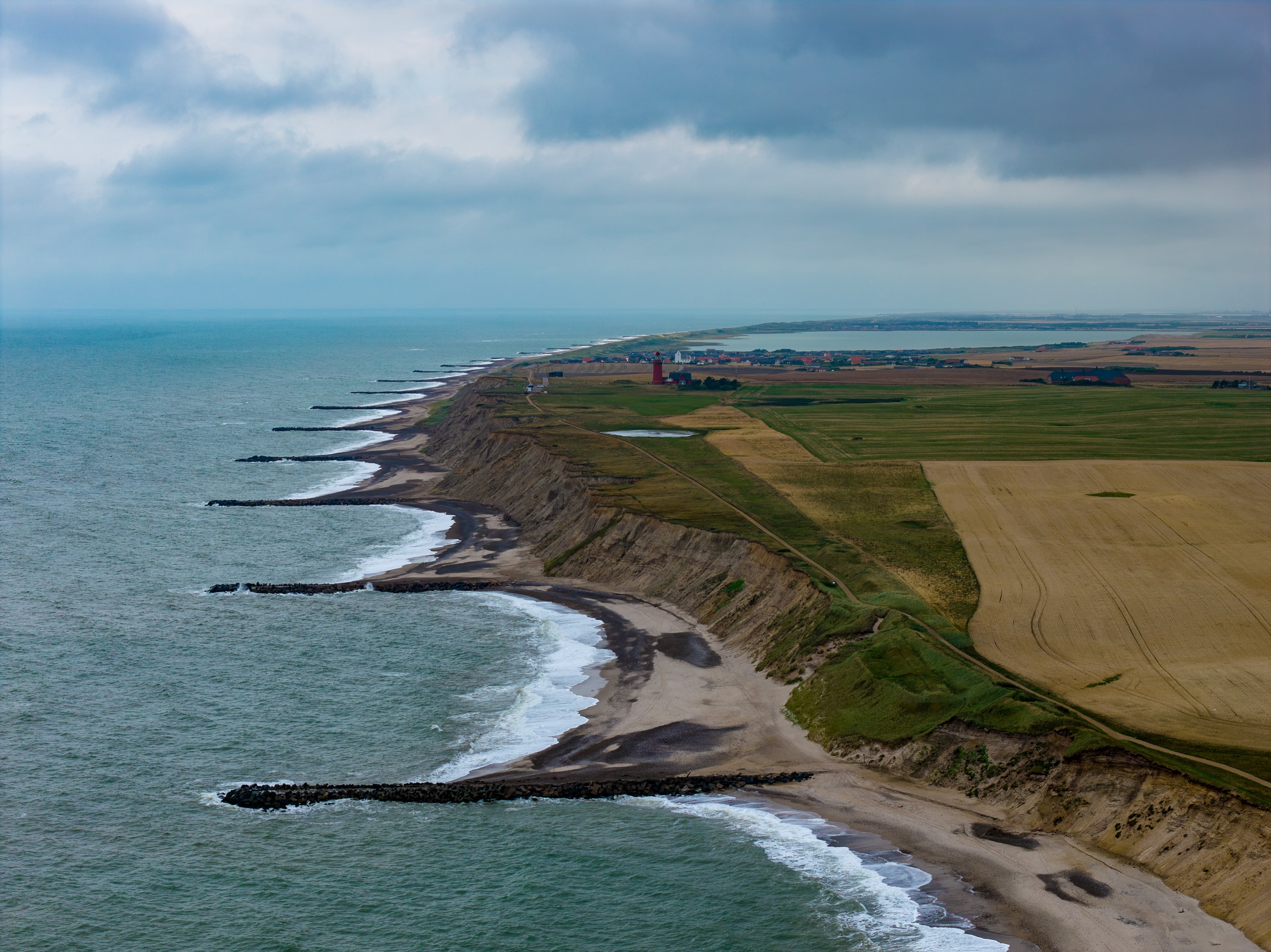
Drone photography opens perspectives that are impossible from the ground — the scale of a habitat, the pattern of a river delta, the geometry of a forest canopy. I hold a current EU drone operator licence and carry full liability insurance for all aerial work.
All flights are conducted in compliance with EU drone regulations (EASA). I handle all necessary airspace authorisations and risk assessments as part of every commission.
Licensed & Insured
EU drone operator licence. Full liability insurance. EASA compliant for all operations.
What I can do
Capabilities
- Aerial landscape & nature photography
- Wildlife habitat mapping & documentation
- Environmental change documentation
- Conservation project aerial surveys
- Editorial & commercial aerial imagery
- Drone footage for film & broadcast
Clubs and private owners who preserve historical sites are offered flights at reduced or no cost. Get in touch to discuss your project.
Applications
Who I work with
Conservation & Research
Aerial surveys of habitats, population monitoring, and environmental change documentation for conservation organisations and research institutions.
Editorial & Publishing
Unique aerial perspectives for magazine features, books, and online editorial. Landscape and wildlife habitat imagery from above.
Fine Art & Prints
Aerial photography as fine art — abstract patterns, seasonal colour, and the geometry of the natural world seen from altitude. I work with clubs and owners who preserve historical sites, and offer reduced-price flights for these projects.
Commission aerial work
Interested in drone photography?
Tell me about your project — location, subject, intended use, and timeline — and I'll come back to you with availability and a quote.
Get in Touch